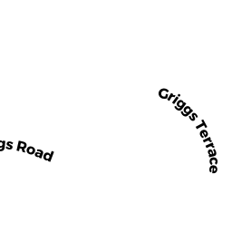
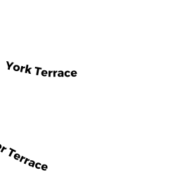
REAR 9 GRIGGS RD
Owner Information
GARONZIK TRS RON
9 GRIGGS TER
BROOKLINE, MA 02446


Property Details
REAR 9 GRIGGS RD is classified as a Accessory Land with Improvement.
REAR 9 GRIGGS RD is valued at $90,100. The land is valued at $6,600 and the structures are valued at $0. There is an additional valuation of $83,500 on this property.
This property is in Zone T-6. Confirm with local Zoning Board authorities to ensure there are no overlays or other easements on this property.
The most recent deed for REAR 9 GRIGGS RD is recorded at the local registrar in Book 37489, Page 470. REAR 9 GRIGGS RD was last sold on Monday, December 30, 2019 for $100.
Assessment data from fiscal year 2021.
Flood Data
According to the FEMA National Flood Hazard Layer, this property does not appear to be in a flood zone. It may also be in an area not yet reviewed. Nonetheless, confirm this information prior to taking any action.
To view the flood hazards around this property, create a FEMA "Firmette" Map of the area around REAR 9 GRIGGS RD.
Broadband Internet Providers
| Provider | Type | Bandwidth (mbps) | |
|---|---|---|---|
| VSAT Systems, LLC. | Satellite | 2 | 1 |
| Viasat Inc | Satellite | 100 | 3 |
| Verizon New England Inc. | DSL | 15 | 1 |
| Comcast | Cable | 1000 | 35 |
| RCN | Cable | 500 | 20 |
| RCN | Cable | 1000 | 20 |
| Starry, Inc. | Fixed Wireless | 200 | 200 |
| netBlazr Inc | Fixed Wireless | 50 | 50 |
| GCI Communication Corp. | Satellite | 0 | 0 |
| HughesNet | Satellite | 25 | 3 |
Broadband service provider data from December 2020.
Adjacent Properties
- 7 GRIGGS TER
Single Family Residential owned by GAEHDE STEPHAN A & CHARLOTTE ADAMS - 6 GRIGGS TER
Single Family Residential owned by ROBERTSON GAYLE A - REAR 10 GRIGGS RD
Accessory Land with Improvement owned by SMITH KEVIN P - REAR 7 GRIGGS RD
Accessory Land with Improvement owned by GAEHDE STEPHAN A & CHARLOTTE ADAMS - 1471 BEACON ST 1
Residential Condominium owned by JAWS EQUITY OWNER 64 LLC - 1471 BEACON ST 2 & P1
Residential Condominium owned by YEN EARL - 1471 BEACON ST 3
Residential Condominium owned by YANG LINYA - 1471 BEACON ST 4
Residential Condominium owned by DUMAS BRENDA D - 1471 BEACON ST 5
Residential Condominium owned by JULIAN EDWARD A & ELLEN H - 1471 BEACON ST 6
Residential Condominium owned by LIU JINAN - 1471 BEACON ST 7
Residential Condominium owned by HELMAN DAVID - 1471 BEACON ST 8
Residential Condominium owned by SPECK JEFF B & ALICE O - 1471 BEACON ST 9 & P2
Residential Condominium owned by HAIG HAROLD & SUSAN - 1471 BEACON ST 10
Residential Condominium owned by RAHMA OSAMA - 1469 BEACON ST
Apartments with More than Eight Units owned by LEEDER, TR EARLE